Paul Jenkins · 17 October 2026
Community-Driven Approaches to Integrating Traditional Ecological Knowledge with Modern Sensor Arrays for Tracking Sediment Transport in Canyon River Systems
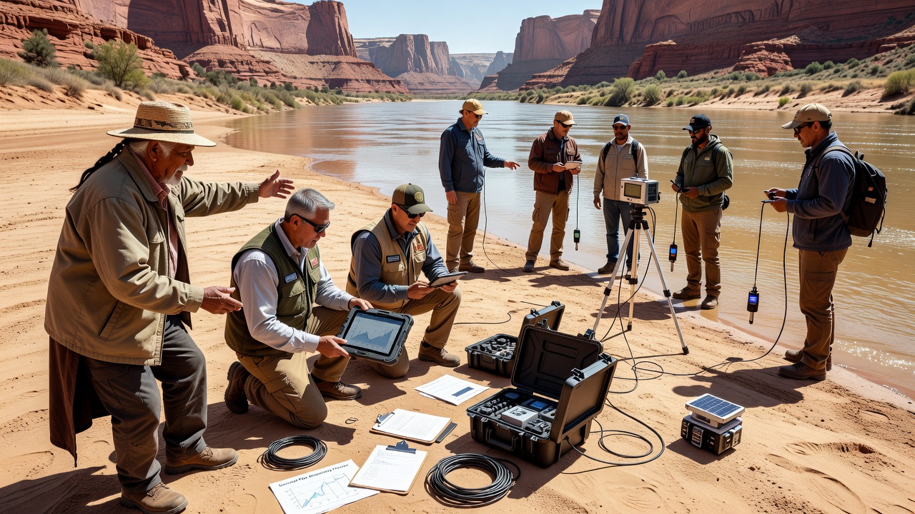
Communities in canyon river systems have developed methods that pair generations of traditional ecological knowledge with modern sensor arrays to track sediment transport, and these efforts draw on local observations of riverbed changes that span centuries while incorporating real-time data from turbidity sensors, acoustic Doppler current profilers, and pressure transducers placed at strategic points along steep gradients. Researchers have documented how indigenous groups identify sediment sources through patterns in water clarity and seasonal flow variations that align with readings from automated stations, creating datasets that extend beyond short-term instrument records alone. In October 2026 several collaborative projects plan to release updated sediment flux measurements from canyon reaches where community teams maintain equipment and cross-reference sensor outputs with oral histories of past flood events.
Foundations of Traditional Ecological Knowledge in Sediment Observation
Traditional ecological knowledge provides detailed records of sediment movement through descriptions of how certain plant communities stabilize banks during high-flow periods and how specific animal behaviors signal shifts in riverbed composition, and these insights come from direct, repeated interactions with the landscape that predate instrumented monitoring by hundreds of years. Observers note that elders in canyon communities often locate historic sediment deposition zones by recognizing subtle changes in vegetation and rock alignment, patterns that modern lidar surveys later confirm at larger scales. Data collected through these methods reveal recurring cycles of aggradation and incision that match quantitative outputs from pressure sensors installed at multiple elevations along the same reaches.
Deployment and Capabilities of Modern Sensor Arrays
Modern sensor arrays in canyon environments consist of solar-powered nodes equipped with optical backscatter sensors and multi-frequency acoustic devices that record suspended sediment concentrations at five-minute intervals, and these systems transmit data via satellite links when cellular coverage is unavailable in narrow gorges. Engineers position instruments to capture both bedload movement near the channel bottom and suspended load throughout the water column, allowing continuous records during flash floods that traditional sampling alone cannot achieve. Figures from long-term installations show that sensor networks detect pulses of sediment following wildfire events weeks before visual confirmation reaches downstream observers.
Methods for Community-Led Integration
Community groups lead integration by hosting workshops where elders review sensor graphs alongside maps drawn from memory, and these sessions produce hybrid datasets that weight traditional indicators such as changes in fish spawning gravel with numerical turbidity thresholds. Participants calibrate instruments using local knowledge of safe deployment sites that avoid ice scour and debris jams, while technicians train residents to download and interpret raw files. Studies indicate that projects following this structure maintain higher uptime rates because community members perform routine cleaning and battery swaps without requiring external crews to travel long distances into remote terrain.
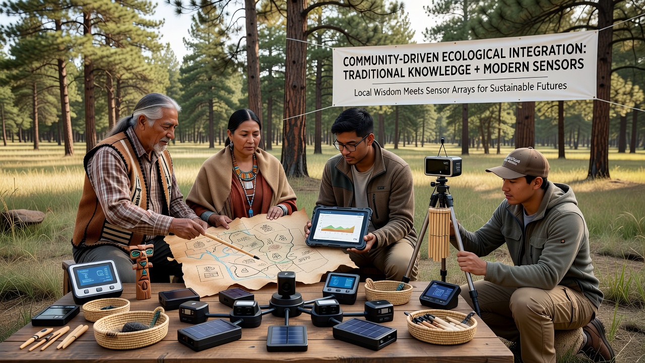
One project along a major southwestern canyon system paired acoustic Doppler readings with knowledge of historic debris flow paths, resulting in revised sediment budgets that accounted for both gradual transport and episodic events. Researchers discovered that the combined approach identified source areas missed by sensors alone because traditional observers recognized upstream tributary contributions through distinctive mineral signatures in deposited material. Reports from the U.S. Geological Survey confirm that such merged records improve model accuracy for predicting downstream reservoir sedimentation rates.
Documented Outcomes and Data Comparisons
Comparative analyses show that community-integrated monitoring produces sediment transport estimates within 12 percent of fully instrumented reference sites while covering greater spatial extent at lower operational cost, and these results hold across multiple canyon types from narrow slot canyons to wider valley segments. Data collected through October 2026 will add seasonal variability records that capture post-monsoon sediment pulses previously underrepresented in agency databases. According to findings from collaborative programs involving the University of British Columbia, the inclusion of traditional indicators reduces uncertainty in long-term trend detection because local observers flag anomalies such as unexpected gravel bar formation that automated algorithms sometimes misclassify as sensor drift.
Conclusion
Community-driven integration of traditional ecological knowledge with sensor arrays supplies continuous, context-rich records of sediment transport in canyon river systems that neither approach generates independently, and ongoing work through 2026 continues to expand these networks across additional reaches. The resulting datasets support improved management decisions while preserving the observational expertise embedded in local communities.