Hugo Jenkins · 5 September 2026
Shifting Landscapes: How Erosion Patterns Reveal Hidden Biodiversity Hotspots in Desert Canyons
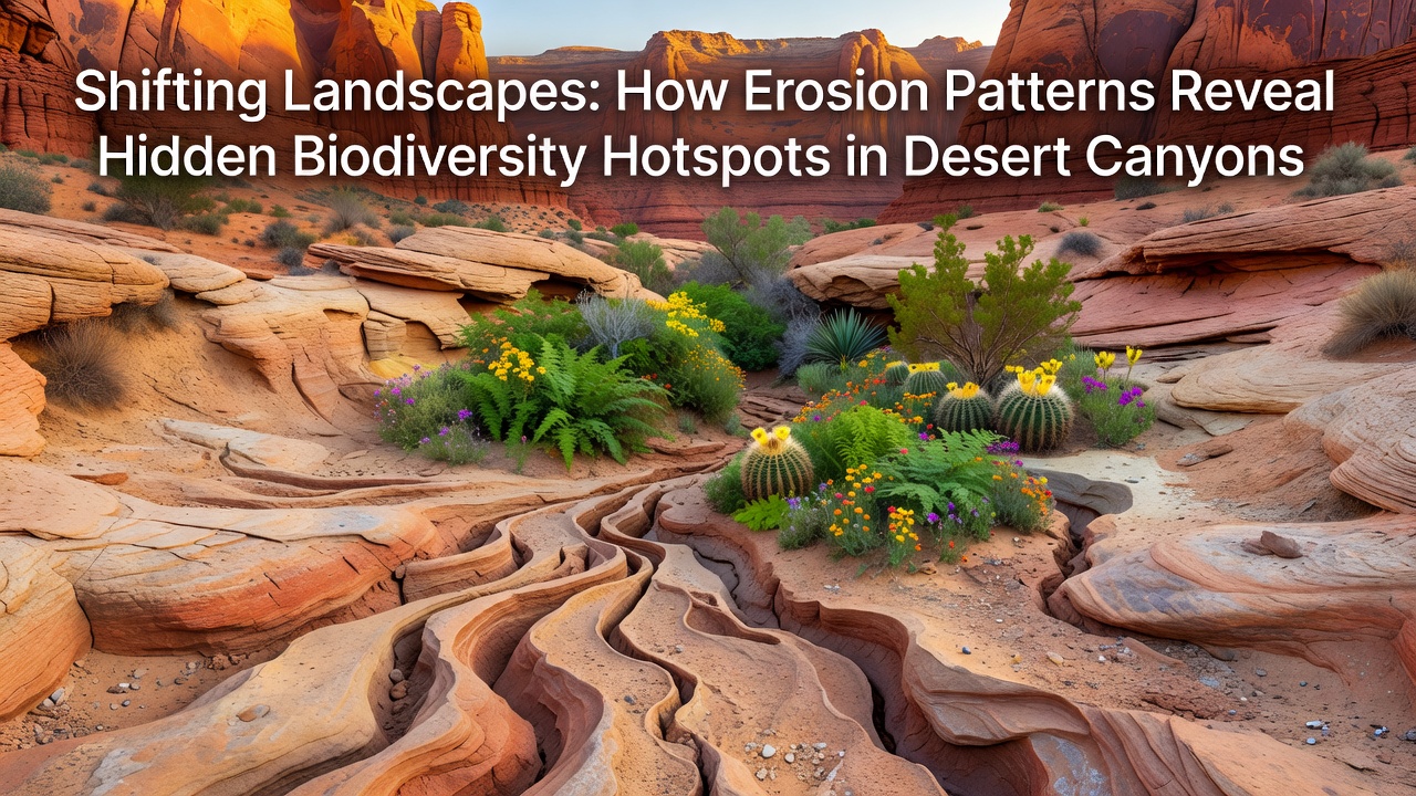
Erosion in desert canyons operates through a combination of flash floods, wind abrasion, and thermal expansion that gradually carves intricate networks of slots, alcoves, adn terraces, and these processes create isolated pockets of moisture and soil that sustain plant and animal communities otherwise absent from surrounding arid plateaus. Researchers tracking these changes note that water from infrequent but intense storms cuts deeper channels while simultaneously depositing nutrient-rich sediments along bends and undercut banks, which in turn allows seeds from distant sources to take root and establish micro-oases.
Mechanics Behind Canyon Erosion and Habitat Formation
Flash floods move large volumes of sediment in short bursts, scouring walls and widening floors, while daily temperature swings crack exposed rock faces and loosen material that wind then redistributes into sheltered depressions. Data from long-term monitoring stations show that these repeated cycles increase surface area for colonization by mosses, lichens, and drought-adapted shrubs, which stabilize new soil layers and attract insects, reptiles, and small mammals. Observers note that the resulting patchwork of sunlit ledges and shaded crevices produces temperature gradients of several degrees within a few meters, enabling species with narrow tolerances to coexist in close proximity.
Regional Patterns Across Arid Landscapes
In the American Southwest, erosion along major drainages has exposed gypsum and limestone outcrops that harbor specialized gypsum-loving plants and endemic snails, and similar dynamics appear in Australian gorge systems where sandstone weathering reveals permanent waterholes fed by subsurface seepage. European research teams working in the semi-arid canyons of southern Spain have documented parallel processes, where seasonal runoff carves gypsum karst that supports unique communities of halophytic herbs and burrowing invertebrates. These examples illustrate how erosion consistently generates topographic complexity that concentrates resources and buffers against extreme surface conditions.
Evidence Linking Erosion Features to Species Richness
Field surveys conducted over multiple seasons reveal higher densities of vascular plants and arthropods along recently eroded benches compared with stable plateau surfaces, and genetic analyses indicate that many of these populations represent distinct lineages isolated by the rugged terrain. Satellite imagery processed by international teams has mapped erosion scar density against biodiversity indices, showing strong positive correlations in several desert regions. A report released in September 2026 by a collaborative group including scientists from North America and Australia confirmed that erosion rates accelerated during the prior decade corresponded with the discovery of additional micro-endemic plant taxa in previously unmapped side canyons.
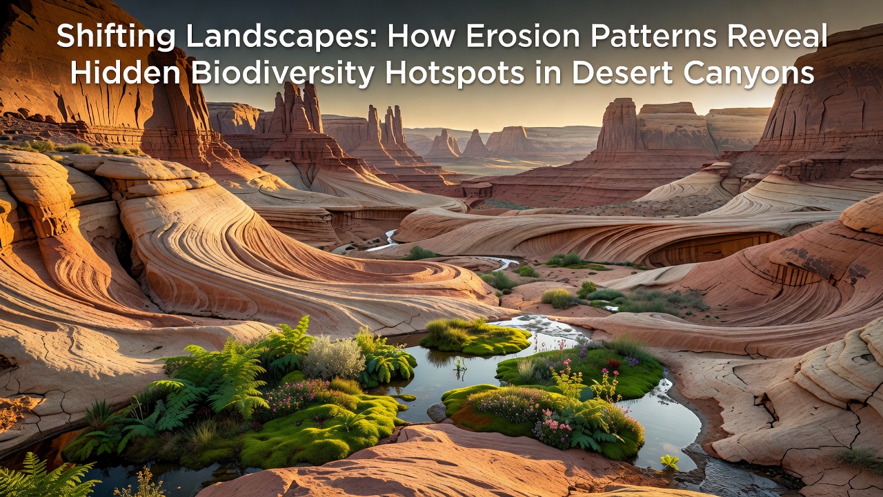
Soil samples collected from freshly exposed strata contain higher organic matter and seed banks than surrounding surfaces, which explains rapid vegetation establishment once water becomes available. Those who have studied these sites over decades observe that certain erosion features, such as plunge pools and hanging gardens, function as refugia during prolonged droughts, preserving genetic diversity that later recolonizes broader areas when conditions improve. According to findings published by the USGS Southwest Biological Science Center, erosion-driven habitat mosaics account for a disproportionate share of regional species counts despite occupying limited total area.
Monitoring Techniques and Data Collection
Researchers employ LiDAR scans, drone photogrammetry, and automated weather stations to quantify erosion volumes and track vegetation response in real time, and these tools allow repeated measurements across steep terrain that would otherwise remain inaccessible. Long-term plots established in the early 2000s continue to yield records showing that areas with active headward erosion support greater numbers of rare annuals following wet winters than adjacent stable slopes. Cross-referencing with herbarium records from multiple continents demonstrates that many newly documented desert endemics occur exclusively within such dynamic zones.
Implications for Conservation Planning
Protected-area boundaries often follow topographic features created by erosion, yet ongoing landscape change means that static maps may miss emerging hotspots or fail to encompass shifting populations. Government agencies in Australia have begun incorporating erosion-rate models into reserve design, drawing on data from the CSIRO arid-zone ecology program that links geomorphic processes to species distributions. Similar approaches are under consideration in other desert regions where canyon systems cross administrative borders.
Conclusion
Erosion patterns continue to reshape desert canyons and expose new surfaces that support specialized biological communities, and ongoing measurement programs supply the quantitative basis for recognizing these areas as distinct hotspots. The combination of physical weathering, sediment transport, and microclimate creation documented across multiple continents provides a consistent framework for understanding how hidden diversity accumulates in arid landscapes. Future data collection will refine models that connect erosion dynamics with species persistence, supporting more precise identification of priority sites for protection.