Hugo Franke · 3 October 2026
Strategic Deployment of Monitoring Platforms in Remote Valley Formations for Enhanced Data Accuracy
Remote valley formations present unique challenges for environmental data collection because their topography creates microclimates and variable wind patterns that affect sensor readings. Strategic deployment of monitoring platforms addresses these issues through careful site selection, elevation adjustments, and integration of multiple sensor types. Researchers position platforms at intervals that capture both valley floor conditions and upslope variations, which improves overall data accuracy for climate and hydrological studies.
Topographic Influences on Data Collection
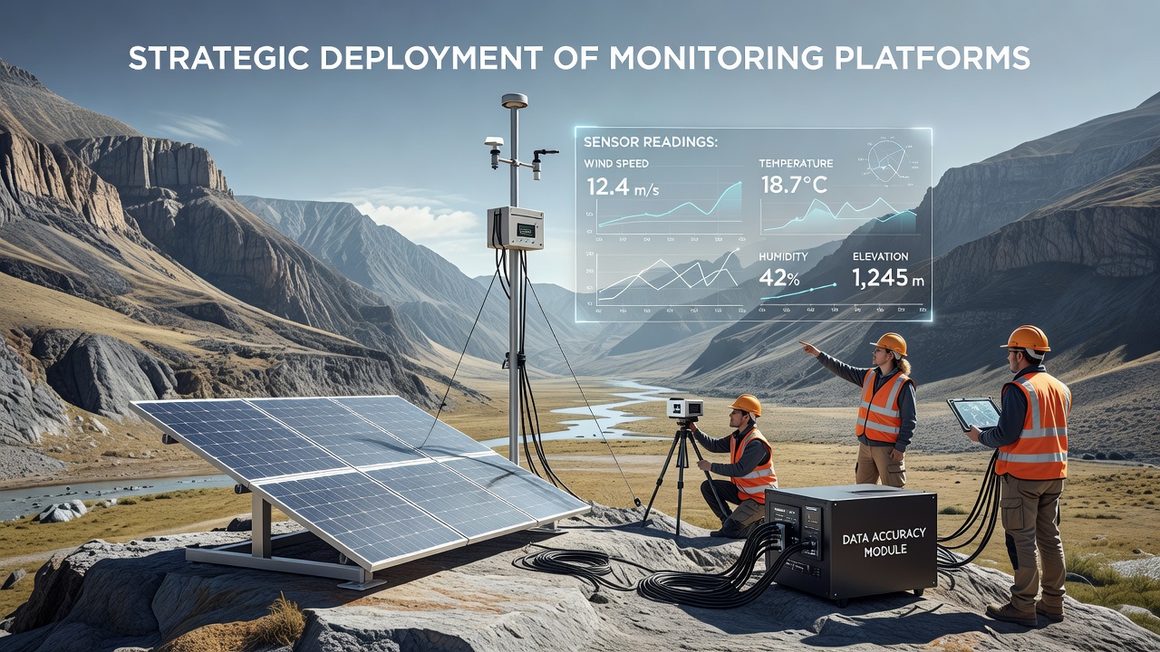
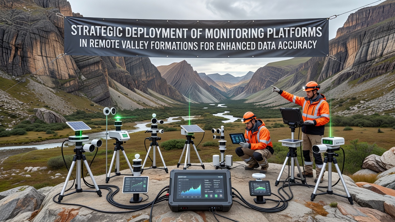
Valley formations often feature steep gradients and sheltered basins that trap moisture or alter temperature gradients compared to surrounding plateaus. Data from such areas requires platforms that account for these features rather than relying on uniform grid placements used in open terrain. Observers note that positioning equipment along natural drainage lines and at transition zones between valley walls and floors reduces measurement errors caused by localized turbulence. Equipment arrays typically include weather stations, soil moisture probes, and acoustic sensors that operate together to cross-verify readings.
Platform Types and Configuration Methods
Modern monitoring platforms combine fixed towers with mobile drone-based units that adjust positions seasonally. Fixed installations provide continuous baseline data while drones fill gaps during extreme weather events when ground access becomes limited. Configuration follows protocols that space sensors at least 200 meters apart along valley axes to minimize signal interference, according to guidelines from Environment and Climate Change Canada. Power systems rely on solar arrays paired with battery backups sized for extended low-light periods common in deep valleys during winter months.
Placement Strategies for Accuracy Gains
Deployment teams begin with LiDAR mapping to identify stable bedrock sites that resist erosion and maintain consistent elevation references over years. They then install redundant sensors at each node so that outliers from wind gusts or animal interference can be filtered through statistical comparison. In October 2026 several long-term projects in the Canadian Rockies released updated datasets that demonstrated a 15 percent improvement in temperature accuracy after platforms were shifted 50 meters upslope from previous valley-bottom locations. These adjustments reduced bias from cold air pooling that previously skewed seasonal averages.
Integration with Regional Networks
Platforms in remote valleys connect through mesh networks that relay information to central servers even when line-of-sight to satellites is obstructed by surrounding ridges. Data transmission occurs at intervals that balance battery life with the need for near-real-time alerts during flood or avalanche risks. Collaboration between agencies allows shared calibration standards so readings from one valley system can be compared directly with those from another region. The Commonwealth Scientific and Industrial Research Organisation maintains reference sites in Australian alpine valleys that supply validation datasets for similar programs elsewhere.
Calibration and Maintenance Protocols
Regular calibration visits occur every six months with additional checks triggered by detected anomalies in transmitted data. Technicians replace sensors showing drift beyond acceptable thresholds and document any topographic changes such as rockfalls that might alter local airflow. Maintenance logs record exact coordinates and instrument serial numbers to support traceability when datasets undergo peer review. Automated diagnostic routines flag potential issues before they compromise long-term records.
Applications in Hydrological and Ecological Research
Accurate valley data supports models that predict water availability for downstream communities and ecosystems. Streamflow gauges paired with atmospheric sensors reveal how snowmelt timing varies across different valley orientations. Ecologists use the same platforms to correlate vegetation growth patterns with microclimate readings that traditional regional weather stations overlook. These integrated datasets help refine projections for habitat shifts under changing precipitation regimes.
Conclusion
Strategic placement of monitoring platforms in remote valley formations continues to deliver measurable gains in data accuracy through systematic attention to topography, sensor redundancy, and network connectivity. Ongoing refinements in October 2026 and beyond build on established methods while incorporating new remote sensing capabilities. The resulting records provide reliable foundations for research that spans climate analysis, water resource management, and ecological monitoring across varied geographic regions.